Washington’s best kept secret: Historical Vance Creek Bridge
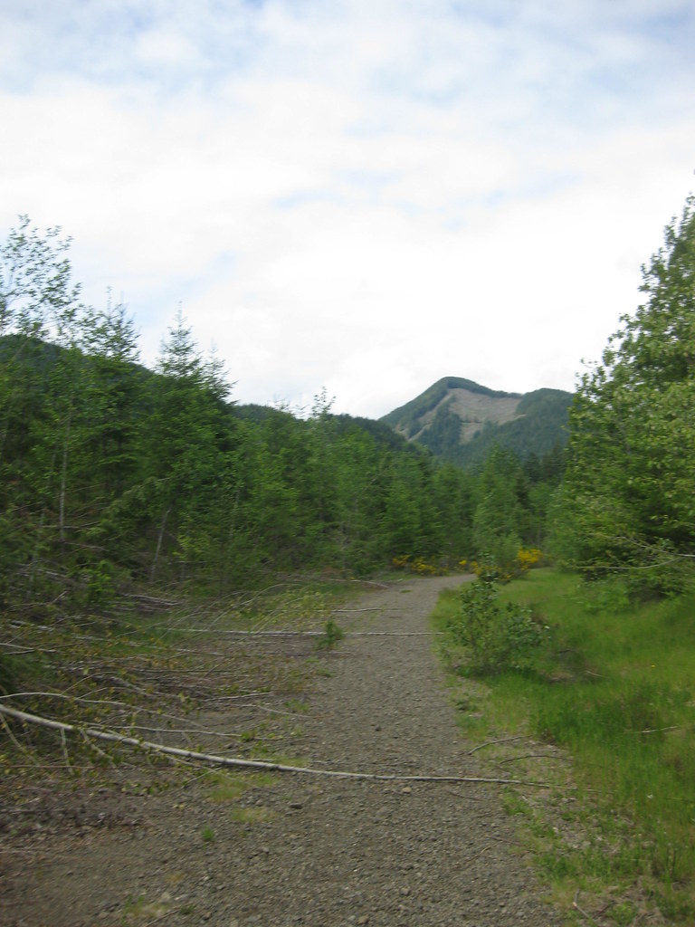
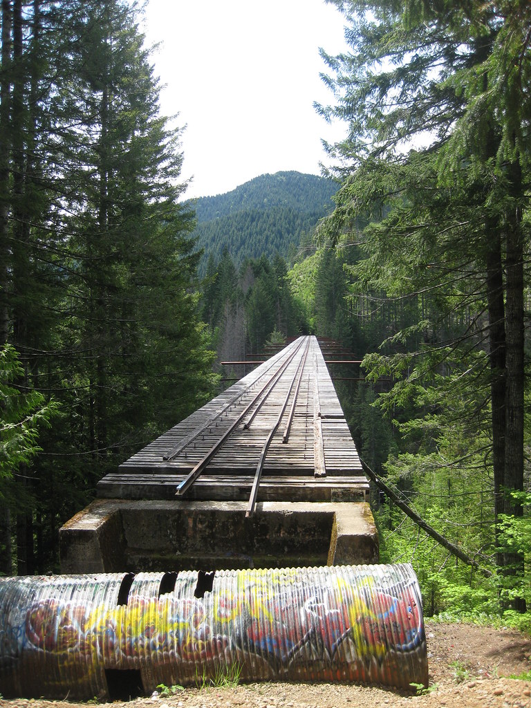
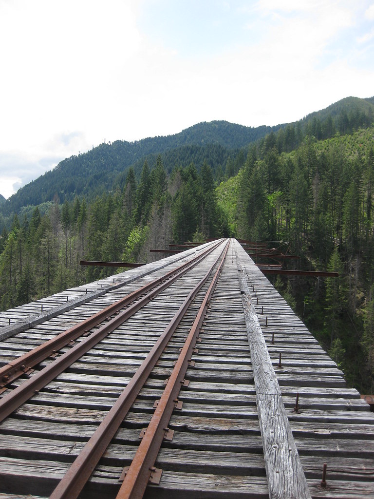
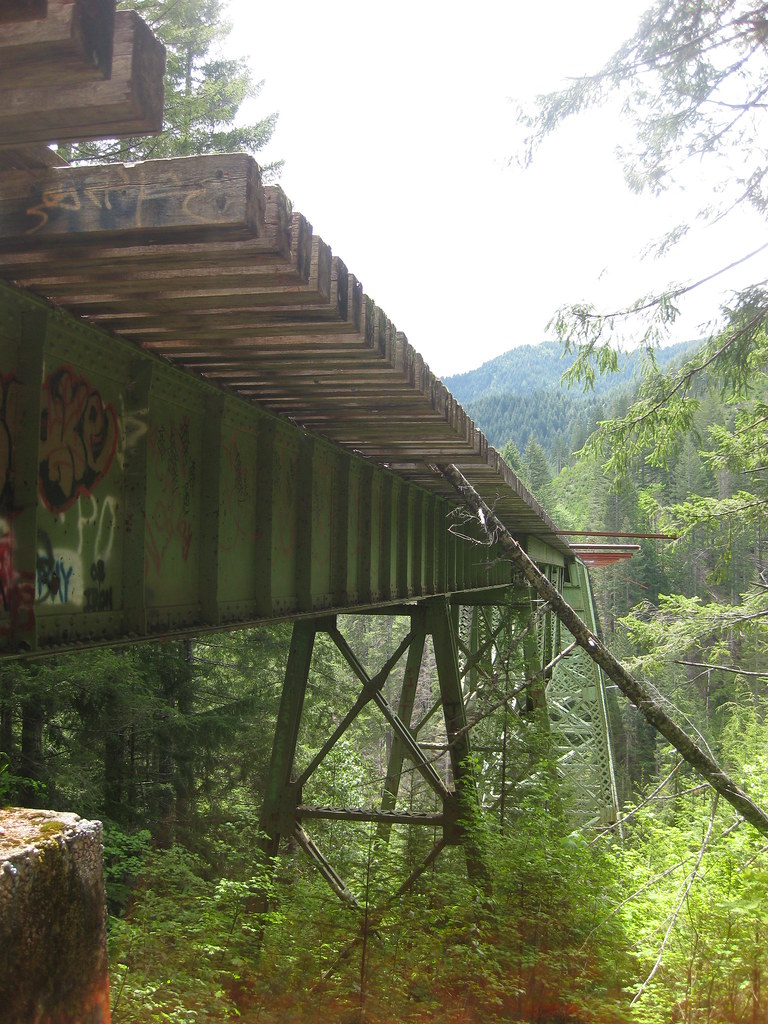
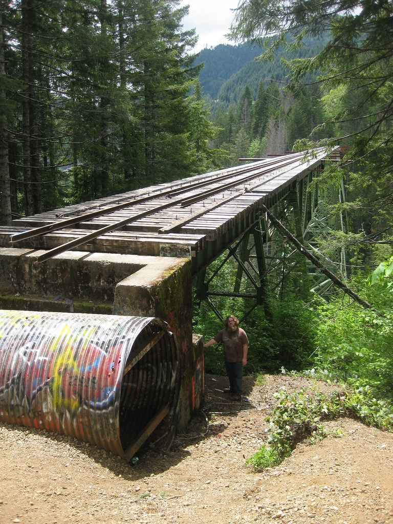
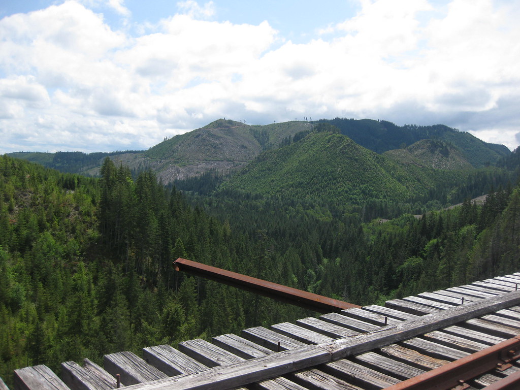
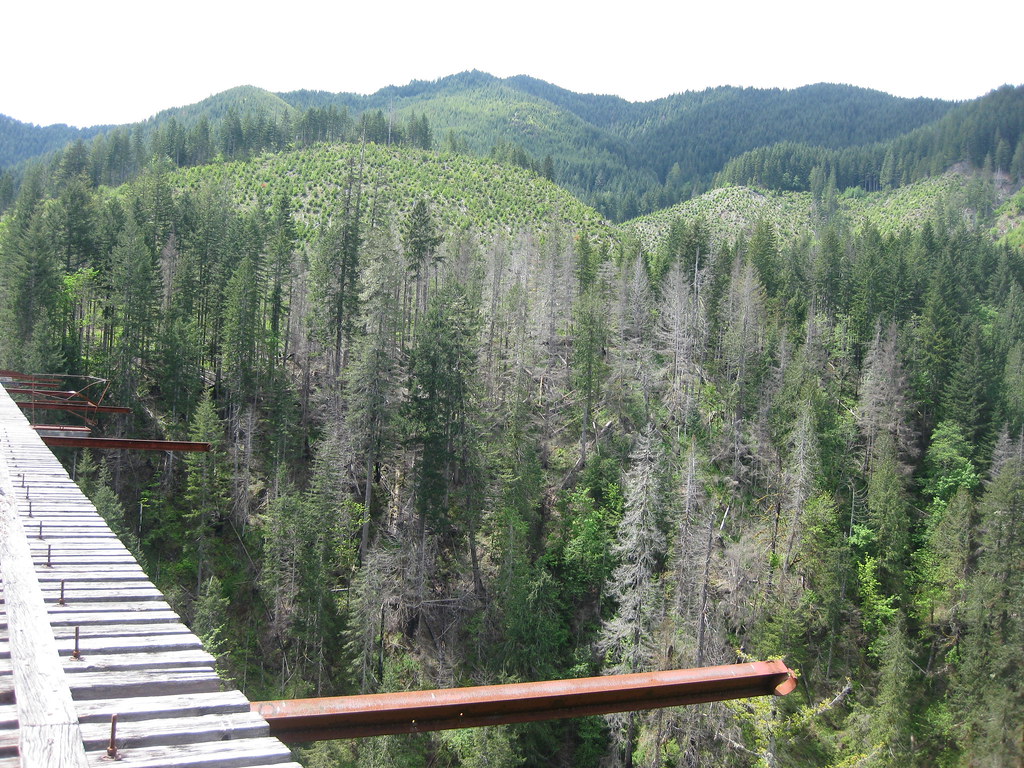
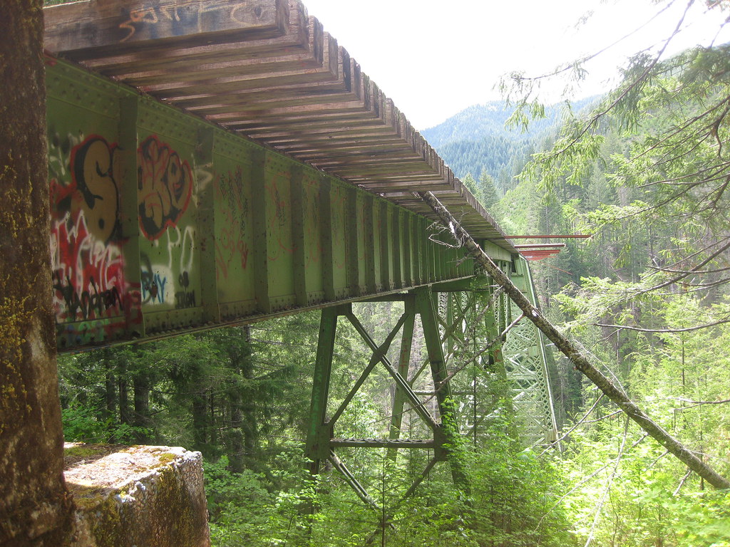
The Vance Creek Viaduct is hidden within the Skokomish Valley in Shelton. It is the second highest bridge built in the United States (highestbridges.com). With the High Steel Bridge just a few miles away, both were operated by the Simpson Timber Railroad Company. The viaduct was activated in 1929, and abandoned in the 1950s (wikipedia.org). The Vance Creek Bridge is over 800 feet long, and stands on a high 347 feet above the ground (brian894x4.com). bridge has two different locations on where you can access the bridge, but both locations are on the Vance Creek Viaduct trail.
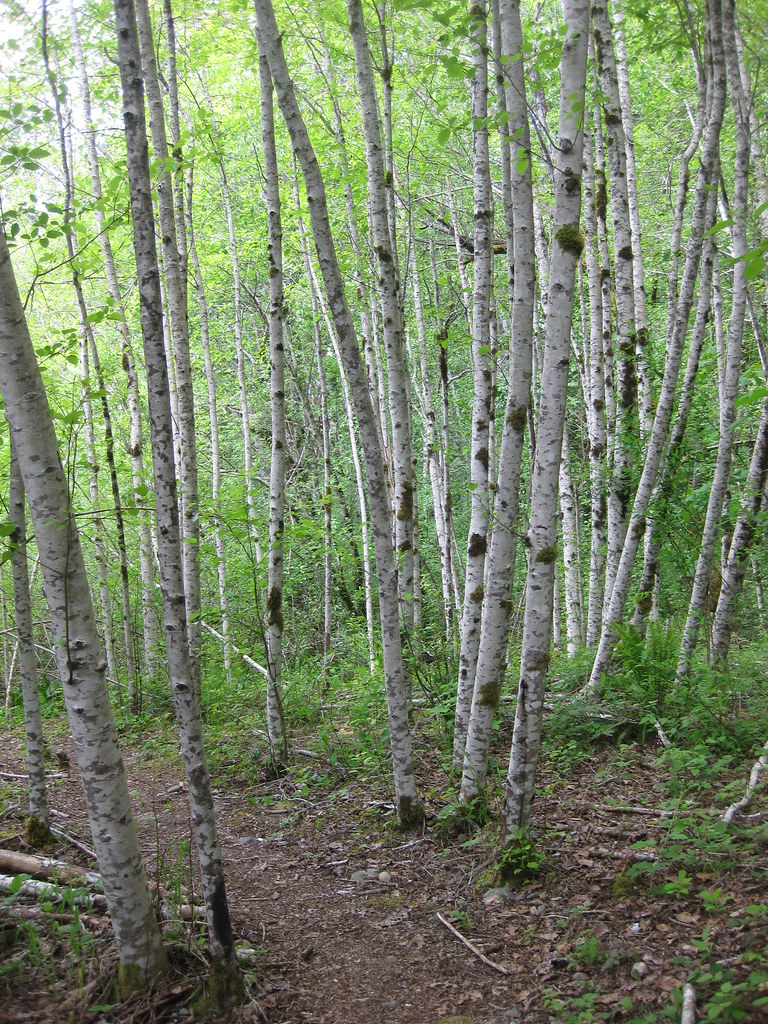
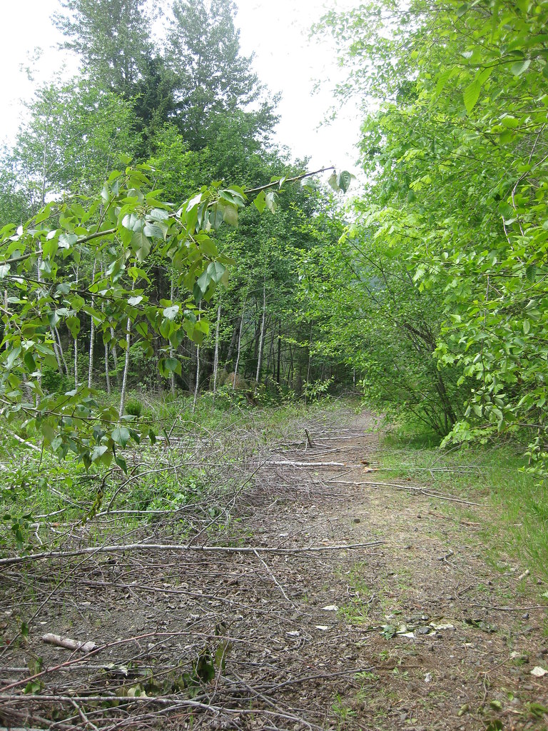
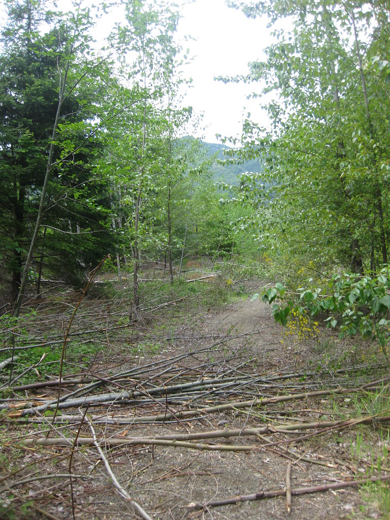
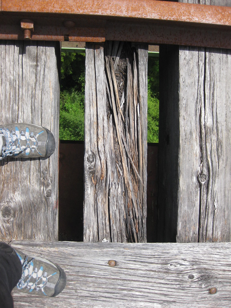
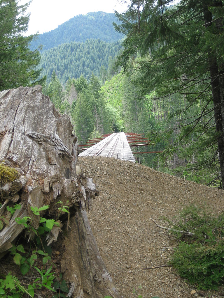
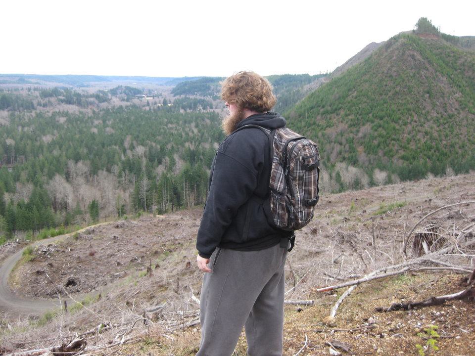
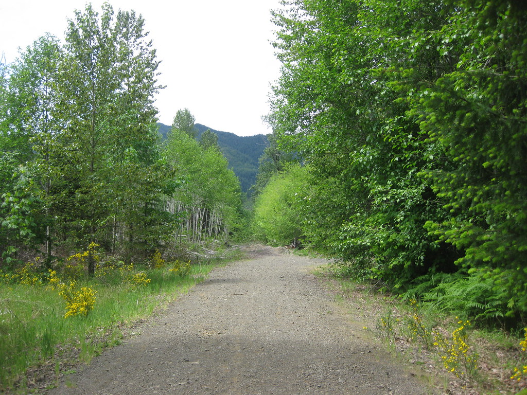
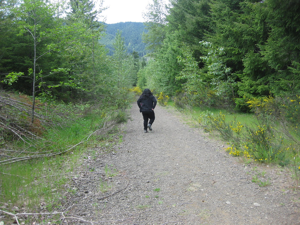
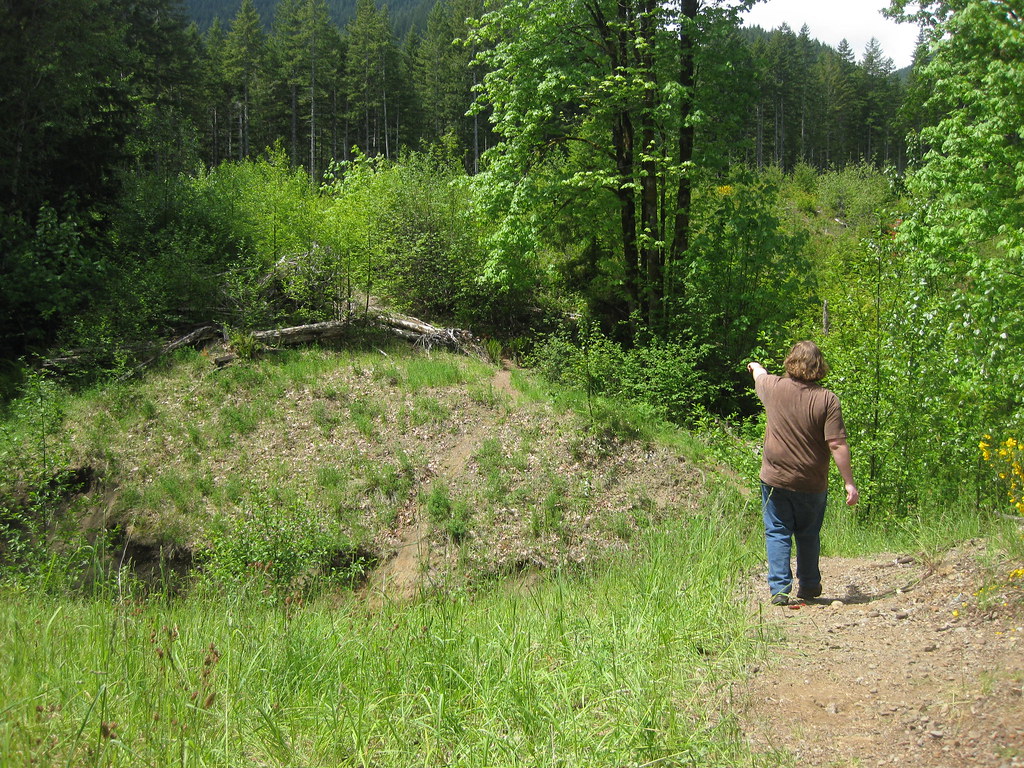
I’ve accessed the bridge at both ends (unmarked trails), and they both are challenging. The longer route is an actual logging road trail, and is extremely steep. However, the views of the Skokomish Valley and clear cuts are excellent and worth the extra sweat. When you get to the end of the logging road, you’ll hit what feels like a “dead end” with a creek in the way. Just turn to the right and there will be a steep path going down, and then a it goes back up. Follow that trail to the bridge.
The other route is short, but definitely not sweet. There are no views on this trail. A steep, stream bank erosion is tough on the toes and the calves. Also, you’ll have to cross a few small, slippery creeks. There are also short steep inclines that make it dangerous without trekking poles. By the time you reach the bridge, your huffing and puffing. It doesn’t end there. If you have a five foot two inch height, be prepared to jump on a big circular drum and hurt yourself.
UPDATE 10/17/2014: Vance Creek Viaduct Bridge is now officially closed to the public due to trespassing on private property. Trespassers can get cited if caught.

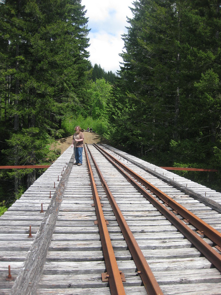
HIKING DETAILS: longer route-4 miles round trip.
shorter route-1 mile round trip.

Would you be so kind as to link or provide more specific directions? I’d really like to check this bridge out. Coming from the Seattle area. Thanks!
It’s hard to get to. I did a ton of research, and went there 3 times before I found the short route. Go to maps.google.com and type Vance Creek Viaduct trail, Shelton, WA from where ever your starting point is. It takes you to the long route. If you want the short route, instead of turning onto NF-2199, stay straight. In about 400 feet, you’ll see in google maps (Satellite view) a white car parked. That’s the start of the trail. If you want the longer, more challenging route, just follow the route it originally gives you.
PS-you’ll start on a paved road, then it will be a little rocky for a quarter mile towards NF-2199, then it will be paved again. Drive slowly and safely. I did just fine in a low clearance vehicle.
Reblogged this on Dabl Photography.
Went to the bridge this past weekend and they have fallen trees on the short trail. The whole trail is full of cotton wood trees. Not just 1 here and there. You will climb over under the whole way took us 1.5 hours to get there.
The trail is no longer one people can hike on. It is privately owned and the land owners do not want trespassers. Hikers will get ticketed!
I read about that. I’m glad I got to experience it before it became illegal. I will update this soon.